Contact the Community Council: Learn more about volunteering with the Community Council: info@swcr.ca St. Williams Conservation Reserve Community Council c/o Turkey Point Provicial Park 194 Turkey Point Road, Turkey Point, Ontario N0E 1T0 Learn more about the rules and regulations for the Conservation Reserve: Jeff Pickersgill, Park Superintendent/Conservation Reserve Manager (A) – Turkey Point Cluster […]
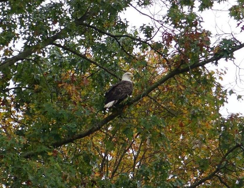
SWCRCC Open House Guided Walking Tour Saturday, October 28, 2023 By Sue Graci The St Williams Conservation cheap replica watches Reserve Community Council Open House 2023 took place this year in the form of a walking tour in the Turkey Point Tract. It was a perfect day for a hike – cool weather […]
Community Council If you are interested in joining the SWCR Community Council, please fill out our application. fake watches panerai replica watches best replica watches Volunteer Work Days To find out more about getting involved in restoration work and trail maintenance, contact the Community Council: info@swcr.ca. Share on FacebookTweetFollow us